Minnesota Water Science Center

UMIS NAWQAUSGS IN YOUR STATEUSGS Water Science Centers are located in each state. 
|
What's New in Groundwater Studies?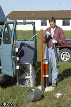 Sampling a groundwater monitoring well. During 2005-2006 the second high intensity phase began for cycle II in the Upper Mississippi River Basin (UMIS) NAWQA study unit. During the initial high intensity phase of cycle I (1995-1998), 50 existing domestic wells were sampled as part of two surveys of ground water in the Prairie du Chien-Jordan bedrock aquifer. In addition, # wells were sampled as part of land-use studies in agricultural, urban and forested areas. During 1999-2005, five wells in the urban land-use study area and two reference wells have been sampled. During 2002 and 2005, 17 wells were sampled as part of the biennial ground-water plan. These included five wells and one reference well in the urban land-use study, 5 wells and 1 reference well sampled from wells installed as part of the agricultural land-use study, and 5 wells from the unconfined portion of the study unit survey of the Prairie du Chien-Jordan aquifer in the Twin Cities Metropolitan Area. CurrentGroundwater sampling during 2006 will include water-level measurements in the agricultural and urban land use study wells and in the unconfined bedrock aquifer. What's New in Stream Studies?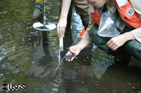
Checking for bottom substrate and water clarity. During 2005-2006 the second high intensity phase began for cycle II in the Upper Mississippi River Basin (UMIS) NAWQA study unit. During the initial high intensity phase of cycle I (1995-1998), there were thirteen surface water sampling sites in the study unit. Three of those sites were selected for long-term trend monitoring: the Mississippi River at Hastings, Shingle Creek at Minneapolis, and the Little Cobb River near Beauford. Shingle Creek is urban indicator site, the Little Cobb River is an agricultural indicator site, and the Mississippi River at Hastings site is large river site integrates multiple land uses. Monitoring at these sites includes monthly and event water quality samples, physical habitat characterization, and aquatic community (fish, invertebrate and algae) sampling. During 2005, the Mississippi River at Hastings, MN was dropped from the trend site network. 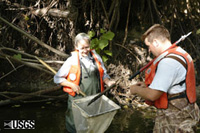
Collecting sticks for invertebrate samples. Current During most of 2005 and all of 2006 sampling is restricted to two sites: Shingle Creek and Little Cobb River. Stream samples are collected once every other month during 2005 and more frequently during 2006. Samples are analyzed for suspended sediment, chloride, sulfate, nutrients, and pesticides. Physical habitat is characterized and biological sampling (fish, invertebrates, and periphyton) conducted once a year during the Fall. Fish collections will be made every other year following 2005. What's New in Regional Studies?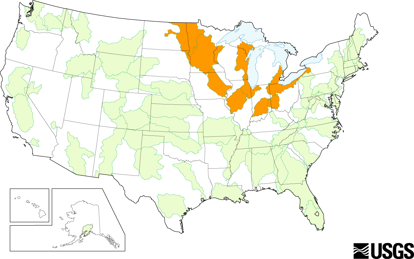
Map of the Upper Midwest Regional Study Area. Temporal trends in nutrient (dissolved ammonia, total Kjeldahl nitrogen, total nitrogen, dissolved nitrate plus nitrite, total phosphorus, and dissolved phosphorus) and suspended-sediment loads and concentrations are being determined for streams in the Upper Midwest. The objectives are to determine annual and seasonal trends in nutrient and suspended sediment loads and concentrations, and explain trends in terms inputs and put results in context of long-term historical records. What's New with Nutrient Enrichment Effects Project?Background 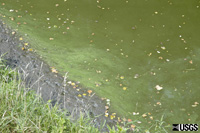
Algae on an agricultural stream. The U.S. Geological Survey (USGS) nutrient enrichment studies are planned and implemented through the National Water-Quality Assessment (NAWQA) Program. In 2001, the NAWQA Program began an intensive study of nutrient enrichment — elevated concentrations of nitrogen and phosphorus — in streams in agricultural basins across the Nation. Five study units were began in 2002, with three additional study units added in 2005. 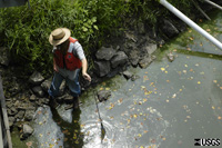
Taking water quality measurements. This study is providing nationally consistent and comparable data and analyses of nutrient conditions, including how these conditions vary as a result of natural and human-related factors, and how nutrient conditions affect algae and other biological communities. This information will benefit stakeholders, including the U.S. Environmental Protection Agency (USEPA) and its partners, who are developing nutrient criteria to protect the aquatic health of streams in different geographic regions. For more information: Link to this site. 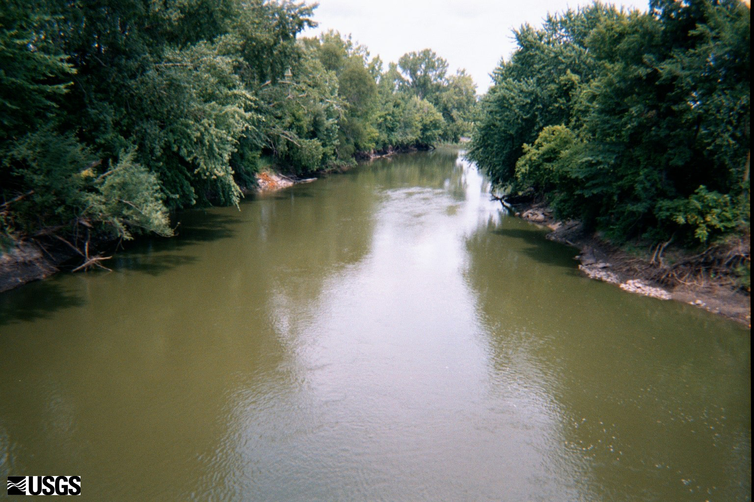
Nutrient enrichment study site. During 2006, planning will begin for the nutrient enrichment study in the UMIS. Most of the work will consist of site selection. This study is part of a National USGS study to determine how nutrient conditions vary as a result of natural and human-related factors, and how nutrient conditions affect algae and other biological communities. Streamflow, nutrient concentrations and other chemical characteristics, dissolved-oxygen concentrations, biological communities, and stream and riparian habitat will be assessed at 25-30 sites within each Study Unit during 2007. What's New with Source Water Quality Assessment?
Bridge over the Mississippi River at Anoka. Source Water-Quality Assessments (SWQAs) are a new activity for NAWQA since 2003. Implementation of SWQAs began early in 2004 in the UMIS study unit. These studies are occurring at eleven other study units. SWQAs are planned as a two-year activity. Year one involved sampling source water from 15 Community Water Supply wells and from the Mississippi River, a site that serves as the source of drinking water for a major drinking water facility in the Twin Cities Metropolitan Area; water samples were analyzed for pesticides, volatile organic compounds, wastewater indicators, nutrients, major ions, and bacteria. Year two activities will be based, in part, on results from the first year of sampling and analysis, and involves sampling finished water in addition to untreated source water. 
Water supply well. During 2004-2005 17 samples were collected from the Mississippi River. 15 wells were sampled in the glacial aquifer and 15 in the Prairie du Chien-Jordan (Cambrian to Ordovician System). Both aquifers are significant sources or water supply to public supply wells in the Twin Cities Metropolitan Area. The source and finished water will be sampled from a subset of these wells during 2005-2006. |
![]() U.S. Department of the Interior |
U.S. Geological Survey
U.S. Department of the Interior |
U.S. Geological Survey
URL: http://mn.water.usgs.gov/nawqa/umis/whatIsNew.html
Page Contact Information: Webmaster
Page Last Modified: Wednesday, 31-Dec-2008 17:34:15 EST
