Minnesota Water Science Center

UMIS NAWQAUSGS IN YOUR STATEUSGS Water Science Centers are located in each state. 
|
Integrator Sites Mississippi River near Royalton, Minnesota (sampling suspended August, 1998) 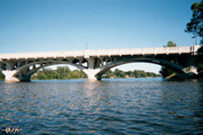 Mississippi River near Anoka, Minnesota (sampling suspended January, 1997) 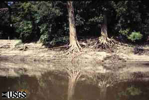 Minnesota River near Jordan, Minnesota (sampling suspended September, 1998) 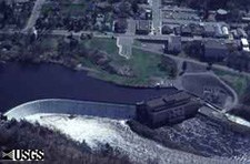 St. Croix River at St. Croix Falls, Wisconsin (sampling suspended September, 2000) Integrator Sites St. Croix River near Danbury, Wisconsin (sampling suspended September, 2000) 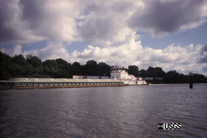 Mississippi River below Lock & Dam #2 at Hastings, Minnesota (sampling suspended August, 2004) 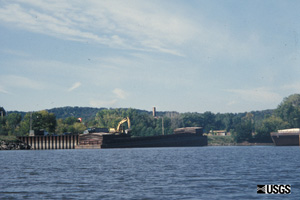 Mississippi River at Red Wing, Minnesota (sampling suspended February, 1999) Indicator Sites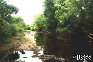 North Fork Crow River near Paynesville, Minnesota (sampling suspended June, 1998)Represents agricultural land cover on glacial outwash 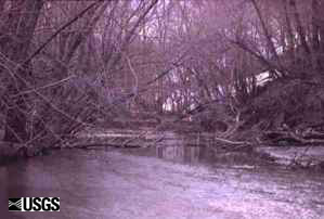 Little Cobb River near Beauford, Minnesota (actively sampling.) Represents agricultural land cover on glacial till. Indicator Sites Shingle Creek at Queen Avenue in Minneapolis, Minnesota (actively sampling.) Represents urban land use on glacial outwash.  Nine-mile Creek near James Circle at Bloomington, Minnesota (sampling suspended June, 1998.) Represents urban land use on glacial till. Reference Sites Cedar Creek near Cooper's Corner, Minnesota (sampling suspended January, 1997.) Represents undisturbed land in the Northern Central Hardwood Forests Ecoregion. Reference Sites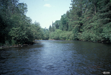 Namekagon River at Leonards, Wisconsin (sampling suspended June, 1998) Represents forested land cover on glacial outwash. Sampling sites map and information. |
![]() U.S. Department of the Interior |
U.S. Geological Survey
U.S. Department of the Interior |
U.S. Geological Survey
URL: http://mn.water.usgs.gov/nawqa/umis/projectDescription/siteClassification.html
Page Contact Information: Webmaster
Page Last Modified: Wednesday, 31-Dec-2008 17:34:28 EST
