|

DATA CENTER
USGS IN YOUR STATE
USGS Water Science Centers are located in each state.

|
Duluth Area Flooding - June 2012
USGS field crew en route to Duluth, June 20 2012
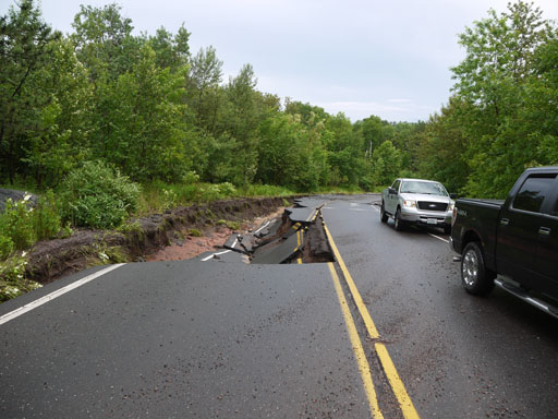
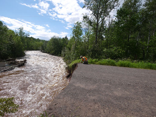
Knife River near Two Harbors, June 20, 2012
Debris from Knife River June 21, 2012
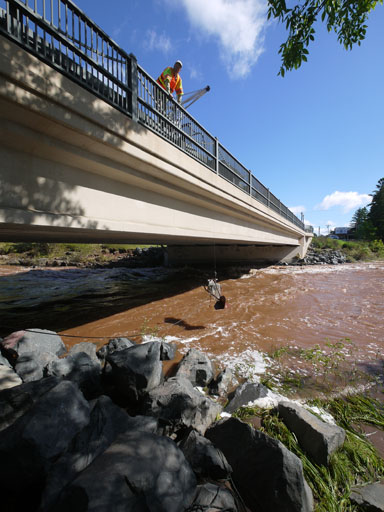
USGS field crew sampling sediment on the Knife River, June 21, 2012.
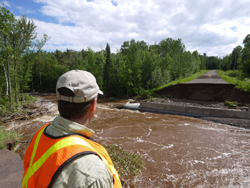
Chris Ellison surveying an impasse on the Sucker River near Palmers, June 21 2012.
Chris Ellison (USGS) near the Sucker River, June 21, 2012.
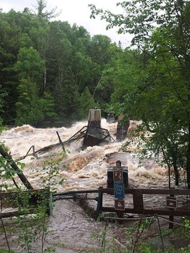
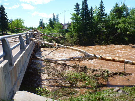
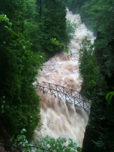
The swing bridge at Jay Cooke State Park was washed away.
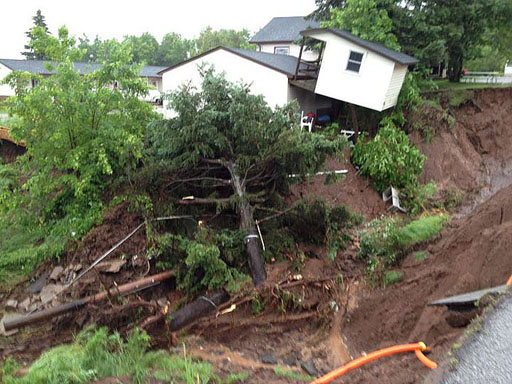
Photo taken on Cody street in Duluth.
Tischer Creek, Duluth.

Duluth Harbor
Source Unknown
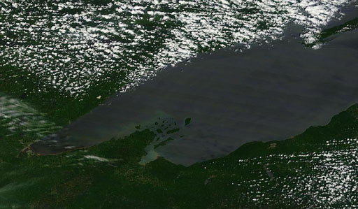
MODIS image over Lake Superior, before the storm. June 17, 2012.
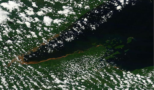
MODIS image over Lake Superior, after the storm. June 21, 2012.
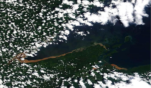
MODIS image over Lake Superior, after the storm. June 22, 2012.
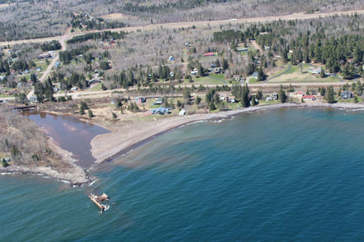
Sediment deposit in Lake Superior.
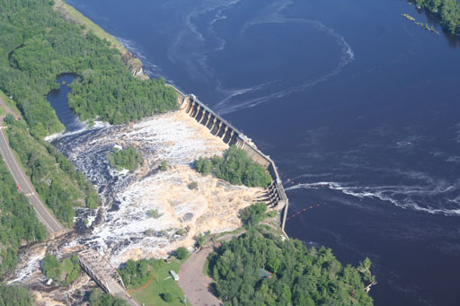
St. Louis River at Thomson - record discharge
Source: Fond du lac Reservation, Environmental Program
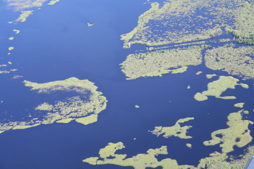
One of the larger on-reservation wild rice lakes, with this year's stands completely flooded out.
Source: Fond du lac Reservation, Environmental Program
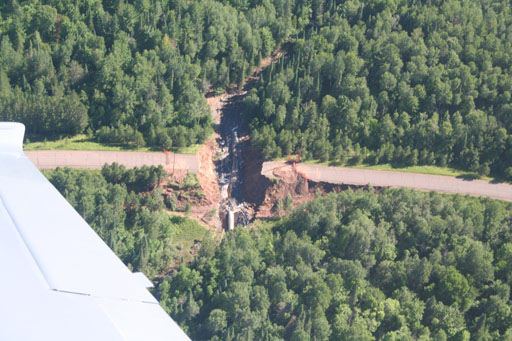
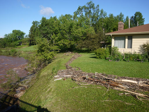
Perched culvert washed away in a trout stream.
Source: Fond du lac Reservation, Environmental Program
|
